Nautical charts provide hydrographical, nautical and topographical information to the Mariner.
The amount of information provided on a nautical chart depends on its scale. The larger the scale, the more information is provided. A large scale chart at a scale of 1:30.000 provides very detailed information about a specific area. Inversely, small scale nautical charts, such as those at 1:2.000.000, provide little detailed information and are most appropriate for general route planning.
Chart corrections are often made to the largest scale charts. This is one of many reasons for using large scale charts wherever appropriate.
Production
Charts of the Danish waters and around Greenland, are published when deemed necessary. This happens when either the number or complexity of corrections dictates a new print or the chart is sold out.
The Danish waters are covered by 66 charts and the waters around Greenland are covered by 105 charts.
Chart Categories
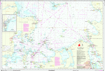
Passage/landfall Charts
Scale: 1:2.000.000 to 1:350.000.
These charts cover very large areas and are only to be used when navigating across open seas or oceans. These charts contain very limited amounts of nautical and hydrographical information. Close to shore, this information is sometimes omitted completely.
Coastal Charts
Scale: 1:350.000 to 1:75.000.
These charts contain detailed nautical and hydrographical information, enabling safe navigation through main waterways and straits.
Approach Charts
Charts in the scale between 1:75.000 and 1:30.000.
These charts contain detailed nautical and hydrographical information in order to safely approach the harbours shown in the area. In narrow straits or confined areas or in areas where a special scale chart covers the area, a simplification can have been done.
Harbour charts & Special scale charts
Charts produced in a scale larger than 1:30.000.
These charts covers areas which are difficult to navigate such as narrow straits, harbours or anchorages.
Great circle charts
This chart projection allows the great circle to be drawn as a straight line. These charts covers a large area of the ocean and are only meant for planning purposes in areas where navigating a great circle makes sense. The great circle chart does not contain any nautical or hydrographical information.
Printing
Paper nautical charts are issued regularly. Information on new charts, new editions and updated reprints can be found in "Chart Corrections" two or three months prior to the publication.
The following terms are used when referring to the issue of charts:
New chart
The first publication of a nautical chart which will either
A new chart is e.g. issued if a significant change to the draught of ships transiting an area requires it. A new chart can either replace an existing chart or supplement the current portfolio of charts.
New edition
New issue of an existing chart containing amendments significant to navigation which will normally have been derived from newly received information such as new hydrographic survey data. It will include changes additional to those previously promulgated in “Chart Corrections” and will render the existing edition obsolete.
Updated reprint
New print of the current edition of a chart incorporating no amendments of navigational significance other than those previously promulgated in “Chart Corrections”. It may, however, contain amendments from other sources provided they are not essential to navigation. Previous printings of the current edition of the cart always remain in force.
More information on the subject of charts can be found in English in Behind the Nautical Chart .