In 2000 the Danish waters were already covered by ENC (Electronic Navigational Chart) cells. IHO is continually updating a catalogue that contains the current world wide ENC status.
ENC is a structured object oriented dataset. All objects are defined as points, lines or areas in a coordinate system.
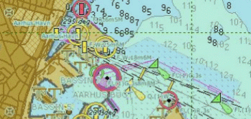
In ENC the production standards are S-52 with appendices and S-57 version 3.1. Contained in these standards are the so called object and attribute catalogue which states the object and attribute classes, for the production of ENC. The data in ENC is input as objects with a geographic reference, along with attributes.
Electronic chart contains more information than paper charts, but the navigator must not be led to believe that the electronic chart is more accurate than the paper chart. The Danish ENC is produced by vectorizing the paper chart.
There are several advantages in using ECDIS (Electronic Chart Display and Information System) with ENC over paper charts.
The most obvious advantage is the integration of nautical chart, position fixing and navigational information. Other advantages include:
-
Real-time presentation of ship position in the nautical chart.
-
Automatic monitoring of the planned route.
-
Situation dependent presentation of data.
-
Reduction of human errors in updating the nautical chart.
-
The ability to set alarms in relation to ship position and movement.
ECDIS is a system that aids the navigator in taking qualified decisions. The ECDIS system is able to scan the area ahead of the ship, and warn the navigator of any dangers.
The Danish waters are fully covered by ENC cells; however this is not the case of the waters around the Faroe Islands and Greenland.
The Danish Geodata Agency sends all its ENC cells to the Regional ENC Coordinating Centre (RENC) at Primar Stavanger.